Skip to content
Home
News
Media Library
Events
Contacts
Media Library
Search by keyword
1544
items found, showing page 34 of 129
Business Hub at Elgin Library
Download
Moray Walking and outdoor fest 2025
Download
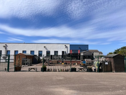
Hythehill Primary School Nursery
Download
MGD 2024 annual report (2)
Download
MGD - annual report 2024
Download
MGD annual report 2025
Download
MGD annual report-2
Download
Former Gordon Arms Hotel-2
Download
Bike Fest-6
Download
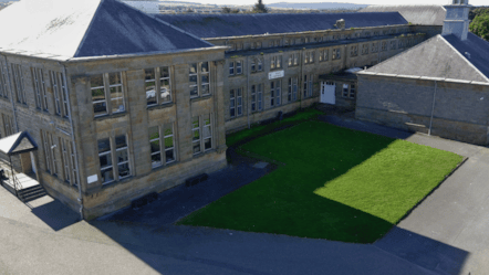
Buckie High School
Download
Crossroads Primary School
Download
Mobile ban in schools
Download
First
Previous
…
29
30
31
32
33
34
35
36
37
38
…
Next
Last